

How to Make Any City Better for Bicycling
By: Rebecca Davies, PeopleForBikes’ City Ratings program director
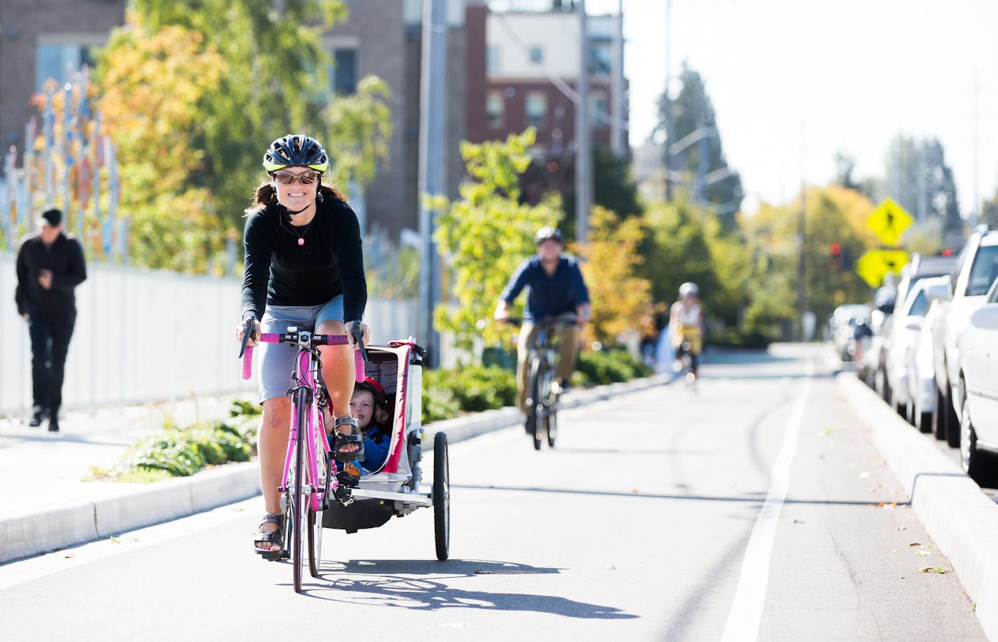
PeopleForBikes’ new SPRINT methodology lays the groundwork for cities looking to improve bicycling locally.
PeopleForBikes releases our annual City Ratings every June, ranking the best cities for biking and sharing actionable lessons on how any city can improve bicycling locally. Our new SPRINT methodology lays out six simple ways — safe speeds, protected bike lanes, road diets, intersection treatments, network connections and trusted data — in which cities can focus their efforts to make biking better, increasing their Bicycle Network Analysis (BNA) and City Ratings score and setting them on a path to becoming a great place to bike.
Safe Speeds
Travel speeds dictate the risk of serious injury or death in collisions between road users. When travel speeds are low, bikes and cars can safely mix. As travel speeds increase, streets should provide separate spaces for people bicycling, walking and driving. When cities reduce speed limits on residential streets to 25 mph or lower, as Flower Mound, Texas, is doing, their BNA score improves. Speed limit reductions on other kinds of streets can also improve BNA scores. Along with speed limit reductions, PeopleForBikes encourages cities to implement traffic calming features that ensure drivers follow the posted speed limit.
Resources:
- PeopleForBikes, Slow Streets are Safe Streets
- PeopleForBikes, What St. Paul Got Right For Bikes
- NACTO, City Limits: Setting Safe Speed Limits on Urban Streets
- Smart Growth America, Why safety and vehicle speed are incompatible goals for street design
- US Department of Transportation, National Roadway Safety Strategy
Protected Bike Lanes
Protected bike lanes provide physical, vertical separation between motor vehicle traffic and people riding bikes. Protected bike lanes make roads safer for all users, including people driving, and all U.S. cities need more of them. Unprotected bike lanes, also known as painted bike lanes, conventional bike lanes, buffered bike lanes or simply bike lanes, are useful in limited circumstances, such as when travel speeds are 35 mph or less and cars are limited to one or two travel lanes. When roads are wide and fast, streets must provide robust physical separation to keep people riding bikes safe. Cities can be creative with their physical separation using concrete planters, bollards, curbs and even temporary construction materials such as jersey barriers.
Resources:
- PeopleForBikes, Making a Better Bike Lane
- PeopleForBikes, Protected Bike Lane Inventory
- PeopleForBikes, Study Finds Bike Lanes Can Provide Positive Economic Impact in Cities
- NACTO, Urban Bikeway Design Guide
- FHWA, Separated Bike Lane Planning and Design Guide
- Portland Bureau of Transportation, Portland Protected Bicycle Lane Planning and Design Guide
Road Diets
For nearly a century, cities have attempted to solve growing traffic congestion by widening roads and freeways. We now know that adding motor vehicle travel lanes results in more cars on the road, a phenomenon known as induced demand, which leads to pollution, increased noise and worse safety outcomes. Wider roads also facilitate speeding.
Reducing motor vehicle travel lanes, also known as a road diet or right-sizing, benefits all road users by slowing down traffic and shortening crossing distances at intersections. When motor vehicle travel lanes are reduced, the extra lane can be repurposed as a protected bike lane, sidewalk, greenery or outdoor space for local businesses.
Resources:
- NACTO, Urban Design Guide, Neighborhood Main Street
- Project for Public Spaces, A Placemaker’s Primer on Road Diets
- RMI, SHIFT Calculator
- PeopleForBikes, Berkeley, CA
Intersection Treatments
When assessing if a safe trip is possible, the BNA considers whether there is infrastructure in place that facilitates safe crossings, also known as an intersection treatment. Streets need intersection treatments when two large roads intersect or one large road intersects a smaller road. Cities can improve their BNA score by adding safe crossings at intersections or mid-block when the distance between existing crossings is far. The BNA counts stop signs, traffic signals, flashing or hybrid beacons and crossing islands as safe intersection treatments.
Resources:
- NACTO, Don’t Give Up at the Intersection
- PeopleForBikes, Protected Bike Intersection Inventory
- Nick Falbo, Protected Intersections For Bicyclists
- US DOT NHTSA, Making A Community Safer for Pedestrians: A Protected Intersection
- PeopleForBikes, Montreal, QC
Network Connections
People who bike on city streets often are familiar with the “bike lane to nowhere,” a lane that abruptly ends in the middle of fast-moving motor vehicle traffic. Gaps in a bike lane represent a broken network connection. A complete bicycle network is continuous, with no gaps or breaks.
Creating a strong bike network also means ensuring people can bike from their homes to common destinations using safe, convenient routes. Paths that wind through a park or along a river are great for recreation, but they are only useful for transportation if they quickly and efficiently help people get to the grocery store or a transit station.
Land use is another important facet of network connections. Cities with compact development and street grids have greater potential for rapid BNA score improvement. Compact development enables people to live close to where they work, shop and recreate, providing more destinations within biking distance and more potential routes to bike to those destinations safely. Similarly, streets with a grid design are better for bicycling because they provide more routes and shorter routes to reach the same destination. Cities can support compact development through incentivizing urban infill and removing parking mandates.
Resources:
- PeopleForBikes & Pedestrian and Bicycle Information Center, Defining Connected Bike Networks
- League of American Bicyclists, Benchmarking Bike Networks
- Congress for New Urbanism, Street Networks
- Not Just Bikes, The Lively & Livable Neighbourhoods that are Illegal in Most of North America
- ITDP & Martha Roskowski, Ideas to Accelerate Parking Reform in the United States
- Parking Reform Network, Parking Mandates Map
- PeopleForBikes, San Luis Obispo, CA
Trusted Data
Tracking data on bicycling infrastructure is challenging because there are few state standards and no federal standards requiring streets to be safe for people riding bikes. Cities are left on their own to decide what counts as safe bike infrastructure, and whether and how to track information about that infrastructure. In the absence of consistent safety and data collection standards, along with easily accessible public repositories for city-level infrastructure data, City Ratings relies on OpenStreetMap and two annual surveys, the Community Survey and City Snapshot, to measure the quality of cities’ bike networks.
Greater accuracy in OpenStreetMap data leads to more accurate Bicycle Network Analysis results, and more responses to the Community Survey strengthens the relevance of the Community Survey score (please note that the Community Survey is not a representative sample of any city’s population, and typically reflects current riders’ experiences). While not required to generate a City Ratings score, the City Snapshot helps PeopleForBikes improve data quality and strengthen the City Ratings program in the future. Anyone can edit OpenStreetMap data and respond to the Community Survey. City officials can respond to the City Snapshot survey.
Resources:
- PeopleForBikes, Community Survey
- PeopleForBikes, City Snapshot notification
- PeopleForBikes, OpenStreetMap editing guidance
- PeopleForBikes, The Importance Of Mapping Bicycling Data
- PeopleForBikes & Pedestrian and Bicycle Information Center, Using Connectivity Measures to Evaluate and Build Connected Bicycle Networks
- US Department of Transportation, Moving to a Complete Streets Design Model: A Report to Congress on Opportunities and Challenges
Related Topics:

Take Action
